Rhea’s archaeological geophysics team used non-invasive methods to locate and map over 2,800 mostly unmarked graves at two historic cemeteries in Alexandria, Virginia.
Archaeological Geophysics at Two Historic Cemeteries
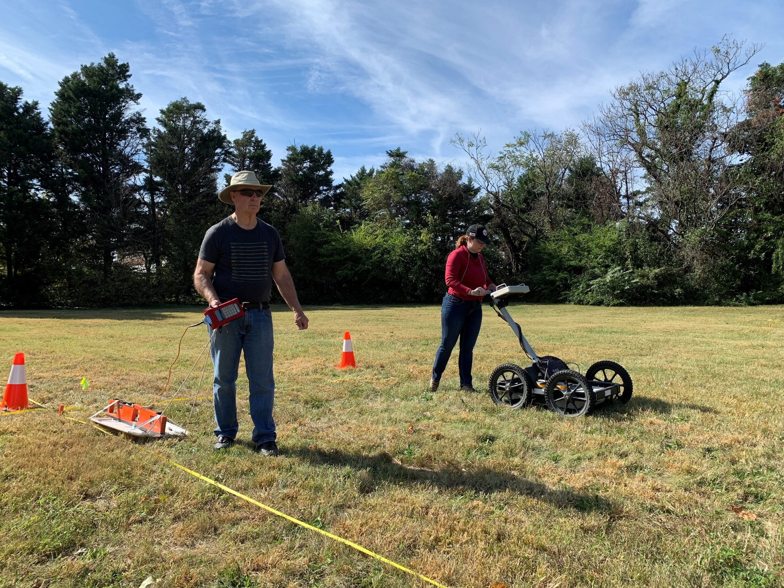
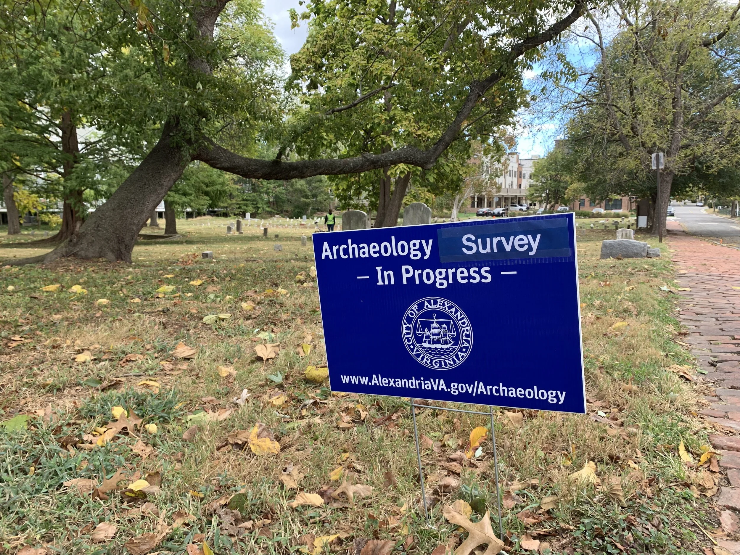
Rhea was contracted by Alexandria Archaeology to investigate identify and document unmarked graves at two historic cemeteries in Alexandria, Virginia. One of these, which operated between 1795 and 1976, served as a municipal cemetery for Alexandria’s poor population, and the other served as a segregated African American cemetery from 1895 to 1975. In both cases, the number of recorded graves greatly outnumbered the number of standing headstones. Rhea’s archaeological geophysics team used two methods, ground-penetrating radar GPR) and electrical conductivity survey, to identify areas with unmarked graves.
In archaeological contexts, GPR can be used to identify soil disturbance below the ground surface, while conductivity surveys find changes in the soil’s electrical properties due to disturbance, water accumulation, or the presence of metal. Both can be useful in identifying grave shafts and coffins or other objects associated with burial. In these cemeteries, graves were dense and often overlapping. Many graves also lacked formal vaults or caskets, which is common in historic graveyards, especially those serving marginalized communities. Despite these challenges, Rhea’s team was able to identify over 2,800 probable graves across both cemeteries. From these surveys, Rhea generated maps and shapefiles that Alexandria Archaeology can use in their ongoing research, conservation, and education efforts at these important historic sites.
Read more about this project here, or see the full report in Alexandria Archaeology’s online bibliography.
Services: Cultural Resources Management , Geophysics
Industries: Public + Institutional